Cedar Bayou Marina & Resort
Lake Texoma, Gordonville, Texas

Welcome to Cedar Bayou Marina
Cedar Bayou Marina rests on the sprawling beauty of Lake Texoma as a must-visit destination, whether you’re a seasoned boater in search of a reservation or an outdoors enthusiast looking for a beautiful place to relax and enjoy nature. We are a family-owned and operated marina, open year-round, with gated security where your boat is looked after as if it were our own.
Atmospheric views and peaceful surroundings offer activities that include fishing, camping, boating, and trailhead access to hiking and biking the 15-mile Cross Timbers Trail System. Just a short drive from Dallas/Fort Worth and Oklahoma City, Lake Texoma’s Cedar Bayou Marina and Resort is the perfect place to savor a resonant beauty where you can rest and restore.
Lake Texoma Boat Slips at Cedar Bayou
Cedar Bayou Marina offers Lake Texoma boaters a variety of slip options designed to help our Texas/Oklahoma boating community have a secure, reliable place to call their shoreline home.
We can’t build the sunset but we can give you front-row seats for it.
Lake Texoma Lodging at Cedar Bayou
Cedar Bayou is home to the most comprehensive selection of lodging options on Lake Texoma and ready to host your next waterfront campfire. Overnight campers and long-term tenants can find a soft place to lay their heads in our modernized cabins, RV cabins, RV park, motel rooms, or our luxurious eight-bedroom Texoma Lakehouse with a private pool and boat slip.
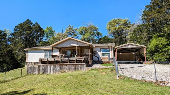
Cabins
Eight cabins for your perfect vacation or weekend getaway – all year round, with central heat and air conditioning.
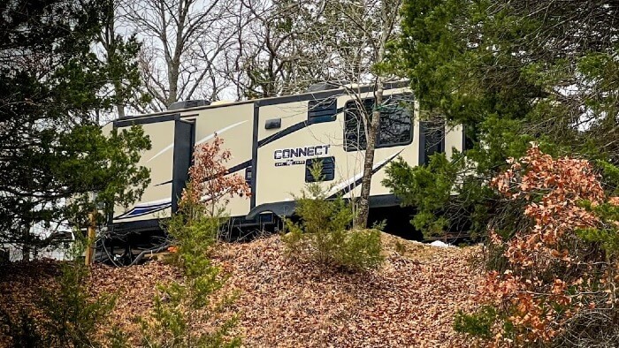
RV Park & Rental
RV cabin rental and RV parking sites with water and electric along with septic and pump-out services.